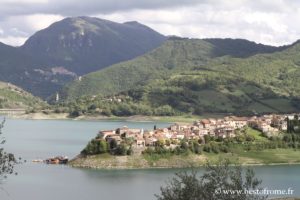
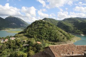
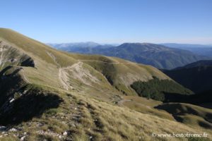
The Province of Rieti is at north of Rome. It’s the least culturally rich, but not naturalistically. It is partly formed by the hills of the Sabina covered with olive trees, and partly mountainous with peaks of the Apennines that exceed 2000 meters of altitude. Several dams formed lakes.
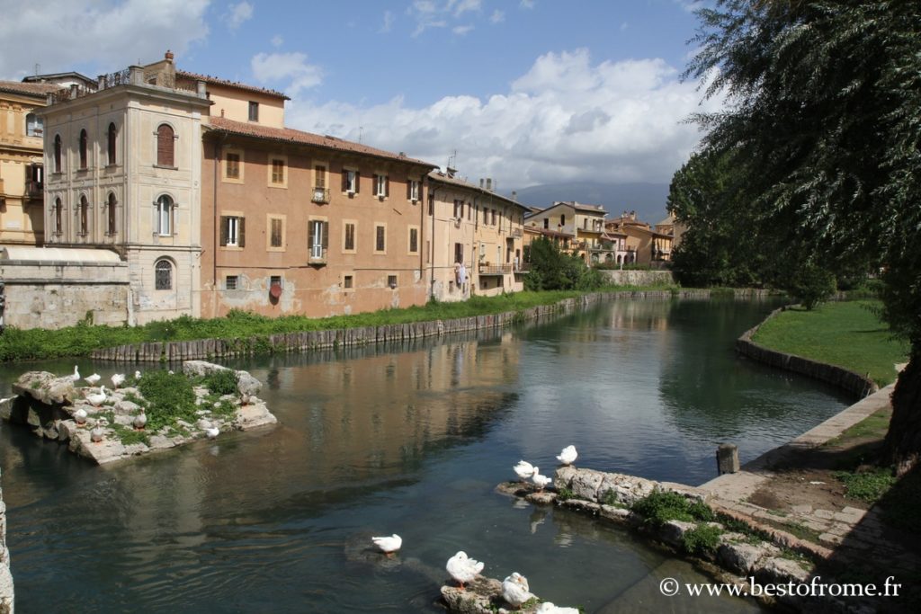
Its capital Rieti is a pretty and interesting city that was Roman, located in a plain surrounded by mountains where abounds the waters descending from the summits. It was for a long time an «aquatic» city with canals. The plain is now drained.
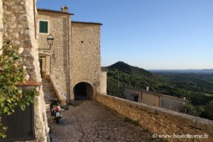
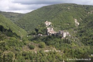
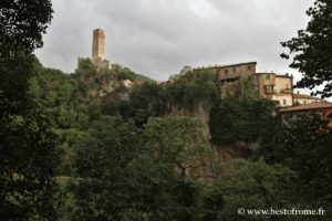
Nearby are pretty mountain villages, lakes, shrines, and natural sites between the Sabine Hills towards Rome, the Reatino further west and the foothills of the Apennines to the north and towards Amatrice to the east.
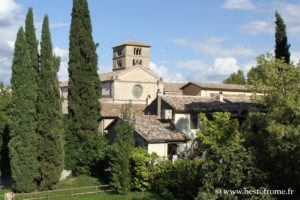
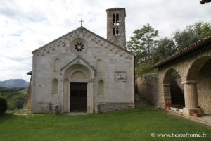
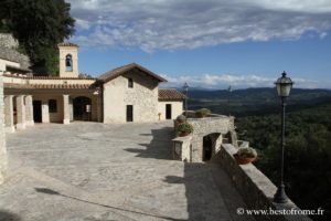
The shrines of the Valle Santa were especially frequented by Saint Francis.
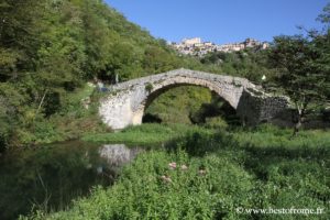
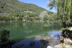
River in Rieti
What to see in Province of Rieti
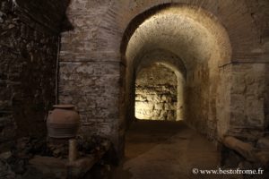
- The pretty town of Rieti, where several valleys and rivers converge, which has a suggestive heritage in its historic center, including its cathedral and underground.
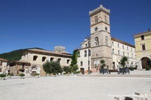
- Pretty surrounding villages of the Reatino, including the Velino Valley with Cittaducale and Lake Paterno near to the remains of the Roman baths.
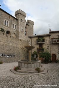
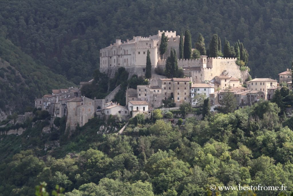
- The Sabina and its small villages: the lakes of Turano and Salto (villages of Posticciola, Colle di Tora, Castel di Tira), the sanctuaries (Farfa Abbey, sanctuary of Santa Vittoria in Monteleone) among the most charming villages Casperia, Collalto Sabino, Poggio Catino, Rocca Sinibalda, Rochette, Greccio, Monteleone and its Roman remains, etc
- To the south-east, the Nature Reserve of Mount Navegna and Mount Cervia.
- On the borders of Lazio, is the village of Amatrice at nearly 1,000 meters above sea level, dramatically bruised and partly razed by the earthquake of 2016.
- The peaks of the Apennines, including Mount Terminillo and its ski resort, Amatrice and the western flank of Mount Gorzano
Gallery photo tour in Sabina
Gallery photo in Reatino
Map
If you see this after your page is loaded completely, leafletJS files are missing.


